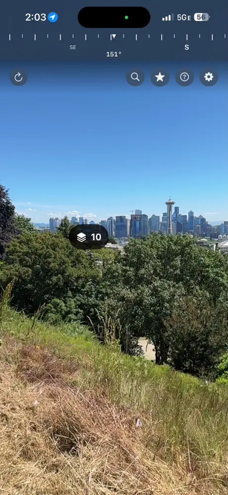
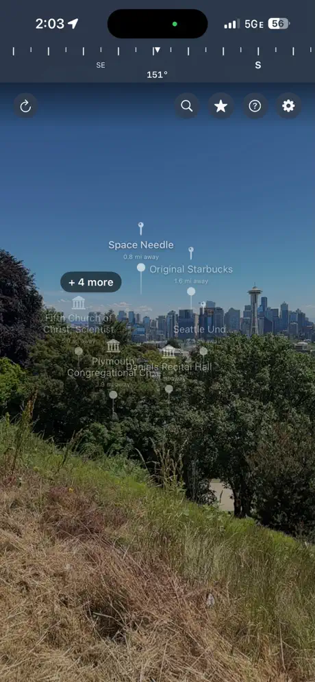
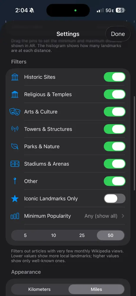
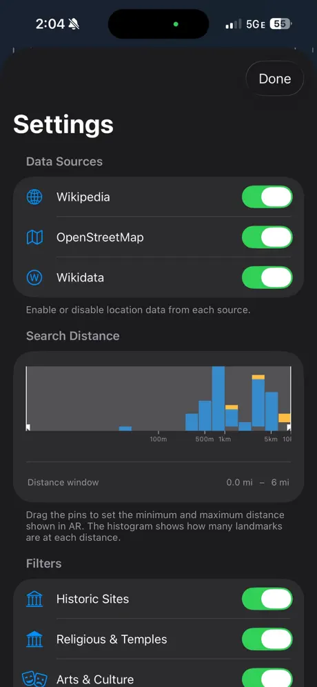
LandmarkAR is an augmented reality app that overlays labels for nearby landmarks, peaks, and historic sites onto the live camera view. It uses GPS and data from Wikipedia and OpenStreetMap, making it ideal for travelers and outdoor enthusiasts seeking real-time information about their surroundings.
LandmarkAR is a Travel, maps & navigation product. It helps users identify and learn about nearby landmarks and points of interest using augmented reality. LandmarkAR is a consumer product aimed at travelers, hikers, and explorers. Pricing is paid, from $4400. The product ships for iOS.
It is developed by Robert Kruy (United States), and the product first shipped in 2026. Across PulseGate's embedding index, LandmarkAR has few near neighbours, marking it as relatively distinct. Among its 5 catalogued features are AR landmark labels, live camera overlay, and GPS anchoring.
Latest indexed changes and source events
Other apps tracked under the same category.