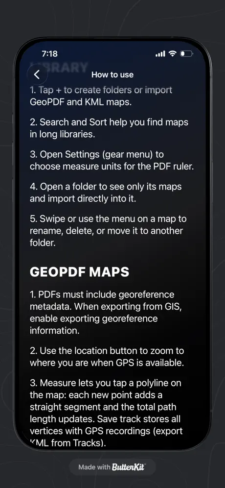
ArkenMap is an iOS app that lets users import, view, and navigate georeferenced PDF maps with real-time location tracking. Designed for outdoor use, it supports offline access and privacy-focused storage, making it ideal for hikers, planners, and field workers.
In the Travel, maps & navigation space, ArkenMap‑App takes a focused approach. ArkenMap allows users to view and navigate georeferenced PDF maps on their mobile device, even offline, for outdoor activities and planning. ArkenMap‑App is a consumer product aimed at outdoor enthusiasts and professionals using georeferenced maps. ArkenMap‑App costs nothing to use. It runs on the web and iOS.
ALEXANDER THOMAS ROBINSON builds and maintains ArkenMap‑App, and the product first shipped in 2026. Across PulseGate's embedding index, ArkenMap‑App has few near neighbours, marking it as relatively distinct. Among its 5 catalogued features are Georeferenced PDF import, location tracking, and offline map viewing.
Latest indexed changes and source events
Other apps tracked under the same category.