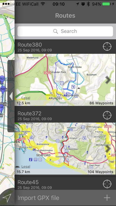
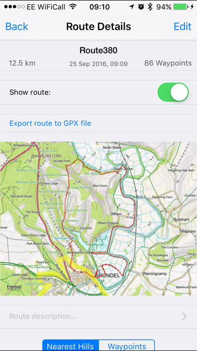
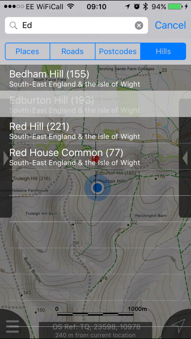
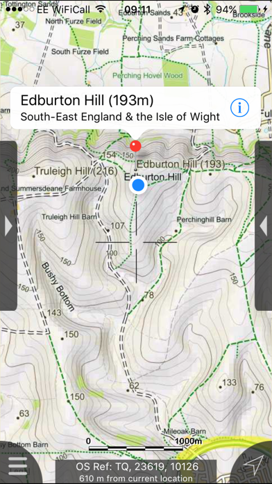
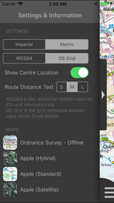
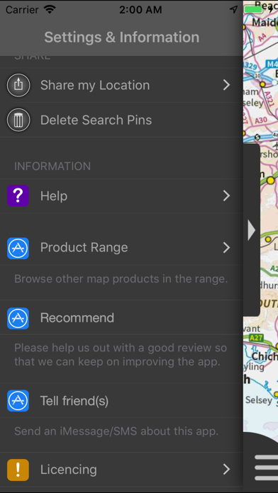
South Downs Maps Offline provides detailed Ordnance Survey maps and navigation tools for the South Downs region. Users can manage routes, search offline, and access multiple map detail levels, making it ideal for hikers and travelers without mobile signal.
South Downs Maps Offline sits in PulseGate's Travel, maps & navigation category. It enables travelers to navigate and explore the South Downs region without internet access. It is built as a consumer product for hikers, travelers, and outdoor enthusiasts in the South Downs area. South Downs Maps Offline is a paid product starting at $5. South Downs Maps Offline is available on iOS.
Behind South Downs Maps Offline is JOMO Solutions Ltd, based in the United States, and the product first shipped in 2015. Key capabilities include offline maps, route management, and waypoint creation.
Latest indexed changes and source events
Other apps tracked under the same category.