
Population Rays
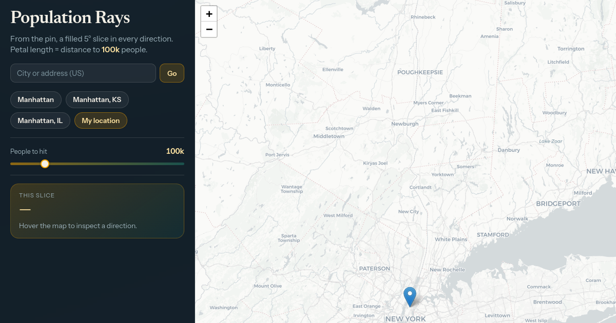
Population Rays is an interactive web tool that shows how far a 5° angular slice must travel from a chosen point on the map before it encounters a given number of people (default 100k). Users can search for locations, use their current position, or explore the map to see population distribution patterns in different directions. It uses high-resolution population data from Meta and CIESIN to generate the visualizations.
FreeWeb
Overview
4 featuresPopulation Rays is an Other productivity project. It focuses on understanding population density and distance to population centers from any location. Population Rays is a consumer product aimed at geography enthusiasts and curious individuals. Population Rays costs nothing to use. Population Rays is available on the web.
Jason H builds and maintains Population Rays, and it first shipped in 2024. Among its 4 catalogued features are Interactive Map, Population Visualization, and Location Search.
Summary written by a language model from the project’s public pages.
- Interactive Map
- Population Visualization
- Location Search
- Directional Analysis
Tags
population-visualizationgeographic-analysisinteractive-mapdensity-radar
Built with & integrations
Runs on
Browser
Trust & compliance
Verified signals
HTTPSFree tier
Indexing history
1What PulseGate has recorded for this listing
- Indexed23 Jul · 21:36 UTCShow HN: How far do I have to go to run into 100k people? verified against its public sourceSource: PulseGate · Open
Frequently asked questions about Population Rays
- What does Population Rays do?
- Population Rays focuses on understanding population density and distance to population centers from any location. It is catalogued under Other productivity on PulseGate.
- Who is Population Rays for?
- Population Rays is a consumer product built for geography enthusiasts and curious individuals.
- Is Population Rays free?
- Yes — Population Rays is free to use.
- What platforms does Population Rays run on?
- Population Rays runs on the web.
- Is Population Rays still maintained?
- Unverified. Population Rays has not been re-checked since it entered the index, so there is no finding either way — and only a positive finding would say otherwise.
- What projects are similar to Population Rays?
- Similar projects tracked by PulseGate include SILAKAN, Timely, and WP Sort Order.SILAKANTimelyWP Sort Order
- Who makes Population Rays?
- Population Rays is developed by Jason H.
- When did Population Rays launch?
- Population Rays first shipped in 2024.
Also in Other productivity
Same category — not a similarity match